
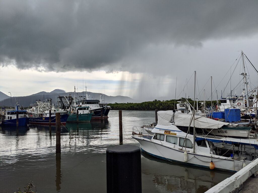
It’s time to put your pot plants outside – there’s decent showers on the cards for Cairns and Innisfail.
The region is forecast to receive up to 20mm tonight and into tomorrow morning.
The falls will be heavier further south, with areas around Innisfail expected to get up to 50mm.
##BA##
BoM meteorologist Helen Kirkup told Tropic Now the wet weather is due to ease towards the end of the week.
“With a south-easterly airstream coming onto the coast, there’ll be more moisture pushing on shore,” she said.
“The way Innisfail is aligned on the coast means it often collects a lot of rainfall.
##PQ##
“In terms of any thunderstorms, that will all be focused well south of the Tully region.
“By Thursday night and through into the weekend, most of the region won’t see too much rain but getting a few millimetres is not out of equation.”
Dryer weather is forecast for the Tablelands, while Port Douglas could receive around 10mm daily totals across tomorrow and Wednesday.
The seven-day forecast also reflects BoM’s prediction of an early start to the wet season this year.
Typically expected in late October or early November, forecasters are predicting the start to be sometime in September, though not as early as this week.
“The start of the wet season is marked by the first 50mm total – the amount predicted to stimulate plant growth in the Tropical North Queensland – but it’s based on a larger area further north of Cairns,” Ms Kirkup said.
“It’s not unusual for the wet tropic areas between Townsville and Cairns to receive 50mm totals at this time of the year or even earlier.”