
##MP##
The Bureau of Meteorology (BoM) has confirmed a La Niña weather pattern has become established in the tropical Pacific.
The Bureau said Pacific sea surface temperatures have been cooling since June and are now at La Niña thresholds.
Atmospheric indicators including the Southern Oscillation Index (SOI), trade wind strength, and equatorial cloudiness are also displaying patterns typical of a La Niña event.
##BA##
In its latest climate driver update, the BoM said forecast models indicate this La Niña event may peak during the spring and return to neutral conditions early in 2023.
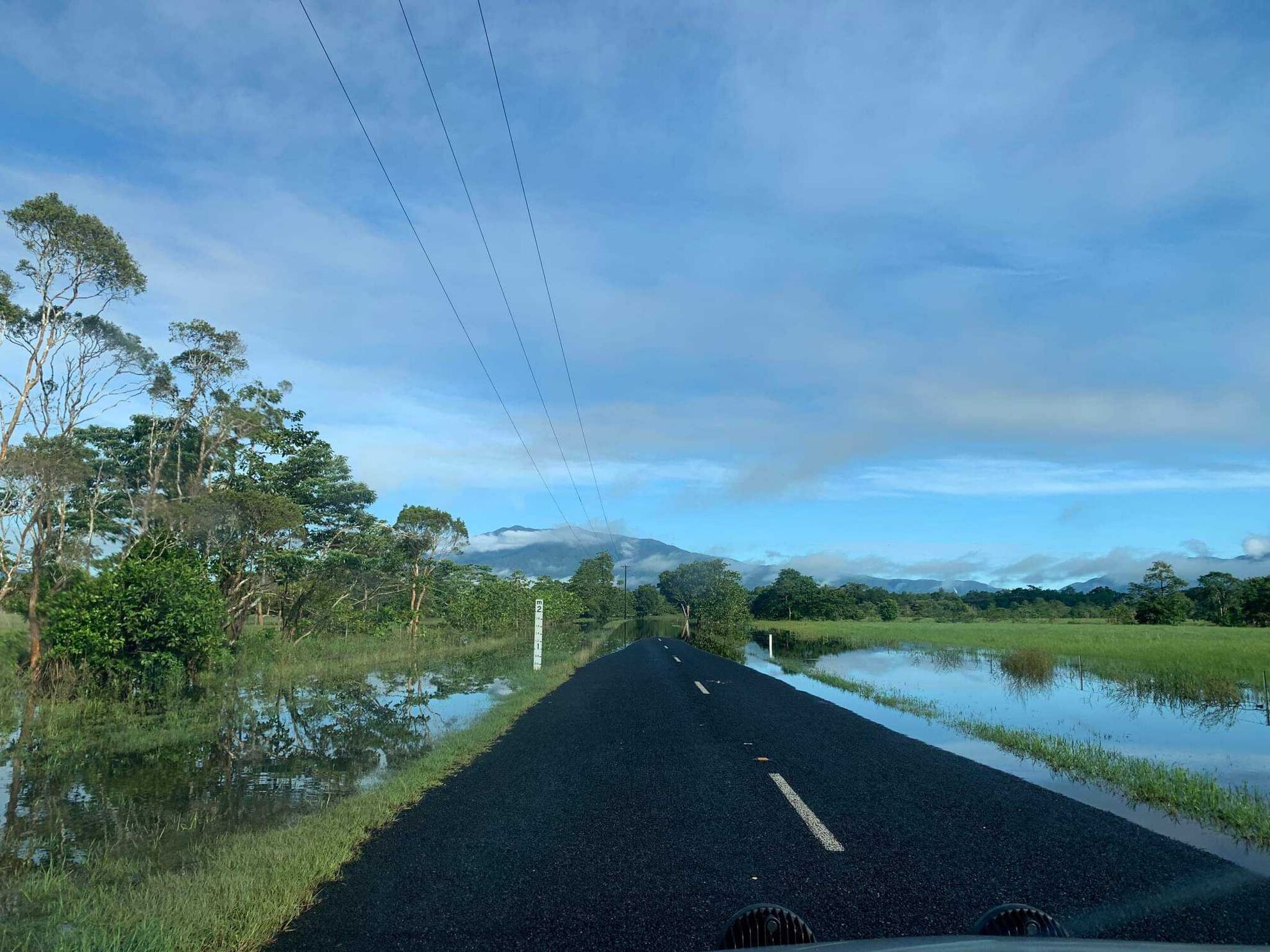
La Niña events increase the chances of above-average rainfall for northern and eastern Australia during spring and summer.
That prospect is boosted by the continuing negative Indian Ocean Dipole (IOD) event, which is typically associated with above average spring rainfall for much of Australia.
When a La Niña combines with a negative IOD, it further increases the likelihood of above average rainfall, particularly in the eastern half of the continent.
This will be the third consecutive year in which Australia has been affected by a La Niña.
These “three-peats” are rare, with records suggesting they happened in 1954-57, 1973–1976, and 1998–2001.
Warm weather is forecast to continue in Cairns this week, but the La Niña raises the chance of rain in coming weeks and the likelihood of an early start to the wet season.
Main points
- BoM says a La Niña has begun
- Higher chance of an early start to the wet season
- Cyclones more likely during La Niña events