
Flood watch issued for Cairns catchments
A flood watch has been issued for Cairns, with the Bureau of Meteorology urging people living or working near rivers and creeks to take precautions.
The watch - for Wednesday to Friday - covers coastal catchments between Cairns and Gladstone, and extends inland to parts of the Burdekin and Fitzroy catchments in the south.
Catchments at risk of flooding within the TNQ watch area include the Mulgrave, Russell, Johnstone, Tully and Herbert rivers.
The BoM reported that a surface trough was likely to form in the Coral Sea near the southern tropical coast tomorrow, before moving slowly southwest on to the coast, bringing increased shower and rain activity.
A trough is an extended region of low pressure. The heavy rain forecast will form due to the trough – with winds blowing from west to east – meeting southeasterly winds.
HOW WET WILL IT GET?
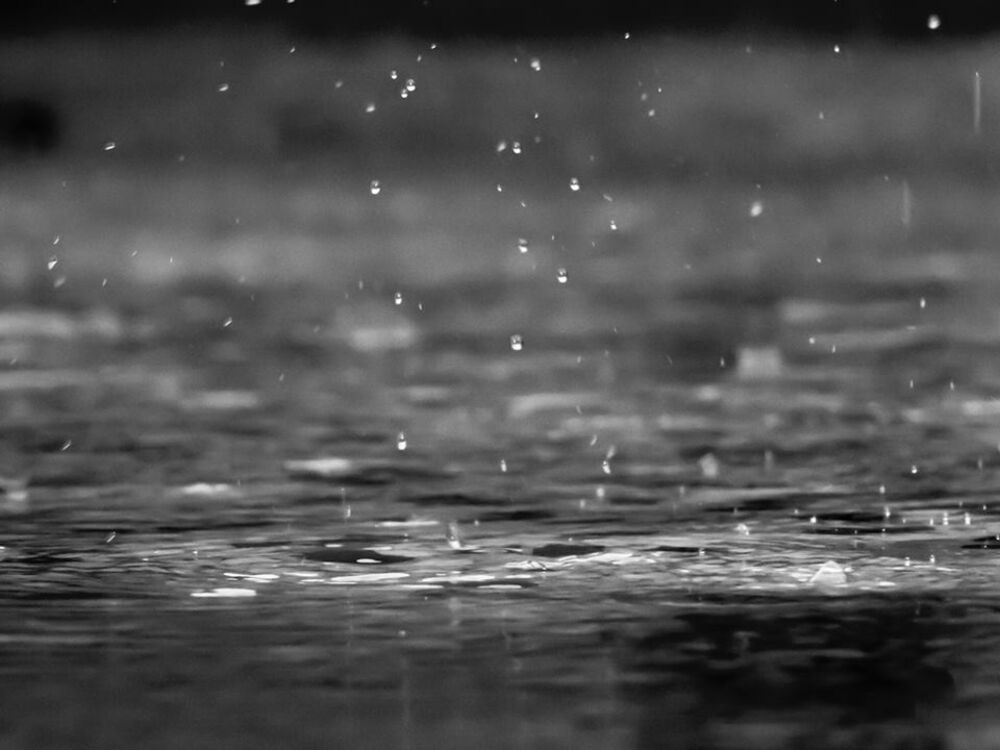
River level rises above the minor flood level are possible based on forecast rainfall, with the BoM saying that heavy rainfall could also lead to localised flash flooding.
While rainfall totals of 100-200mm are forecast across much of the watch area, Cairns duty forecaster Andrew Mostyn said the city – though “we’re gonna get wet” – would receive less rain than southerly regions, predicting a maximum of 50mm.
Mr Mostyn said rain would develop tomorrow morning and would become extensive by the afternoon.
Rain is set to continue on Thursday and Friday, with a chance of thunderstorms on both days.
The chance of showers drops to 40 per cent on the weekend.
Despite the rain, temperatures in Cairns are forecast to remain steady, with lows between 21-22C and a maximum temperature forecast of 29C.
The next Flood Watch will be issued by the BoM at midday tomorrow.